
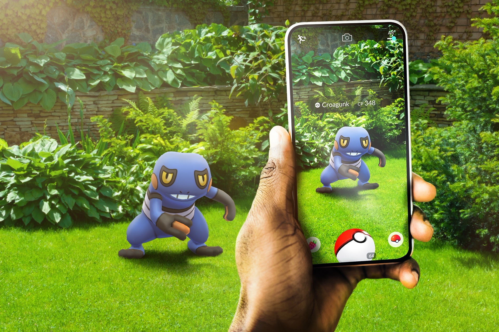
Niantic, the creator of Pokémon Go, is utilizing data from millions of players to develop an innovative Large Geospatial Model (LGM). This AI-driven system uses user-submitted scans to map the physical world with unparalleled detail, unlocking new possibilities in augmented reality (AR), urban planning, and logistics. According to a blog post from Niantic, the LGM integrates billions of images and 3D scans collected through games like Pokémon Go and Ingress.
Victor Prisacariu, Niantic’s Chief Scientist, explained, “Using the data our users upload while playing games like Ingress and Pokémon Go, we’ve built high-resolution 3D maps of the world. These maps include both 3D geometry… and semantic understanding [of objects].” These maps go beyond simple visuals—they are intelligent, capable of deducing unseen details based on patterns and data from similar environments.
Niantic’s Visual Positioning System (VPS), a feature in Pokémon Go, enables the company to gather data with centimeter-level precision. With more than 10 million locations scanned and an additional million scans uploaded weekly, this player-generated content enhances Niantic’s ability to understand the world spatially. What sets this data apart is its pedestrian perspective, capturing locations inaccessible to vehicles or traditional mapping tools.
The potential applications for this technology reach far beyond gaming:
• AR Experiences: Features like Pokémon Playgrounds allow players to place Pokémon in real-world environments.
• Urban Planning and Logistics: The LGM could aid navigation, cultural preservation, and city spatial analysis.
• Future Innovations: Niantic envisions the LGM as a foundation for AR glasses and robotics, revolutionizing how humans and machines interact with urban landscapes.
Prisacariu highlighted the significance of this technology, stating, “Even the most advanced AI models today struggle to visualize and infer missing parts of a scene… Spatial intelligence is the next frontier of AI models.”
